Precision Land Intelligence Across Western Canada
Professional drone mapping and crop health analysis. Built for agriculture. Clear, actionable field data when you need it.
Advanced RPAS Certified • Fully Insured Operations • Western Canada Coverage • Multispectral Capture
Built for Western Canadian Agriculture
Consistent, compliant RPAS operations delivering the data your operation depends on.
Flight Operations
Transport Canada-compliant RPAS operations focused on safety, reliability, and consistent results
Agriculture Data
Multispectral capture and analysis designed specifically for agronomy workflows and precision agriculture.
Regional Coverage
Serving agricultural and land management clients across Alberta, Saskatchewan, and Manitoba
What We Do
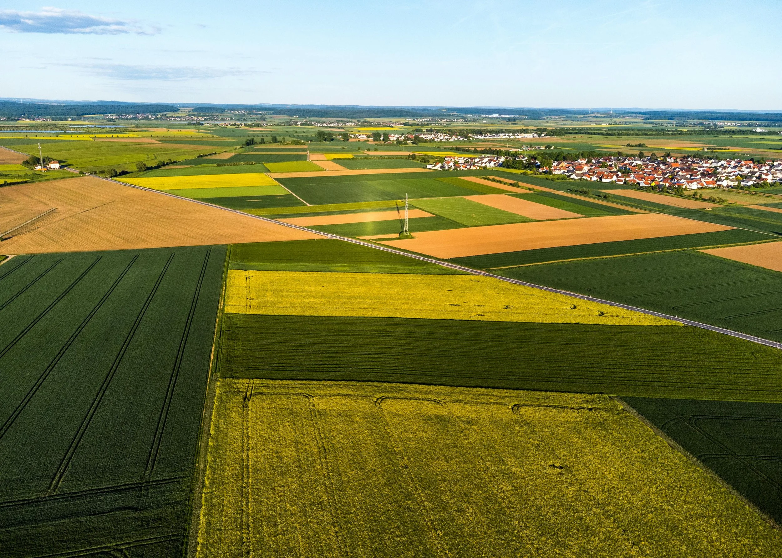
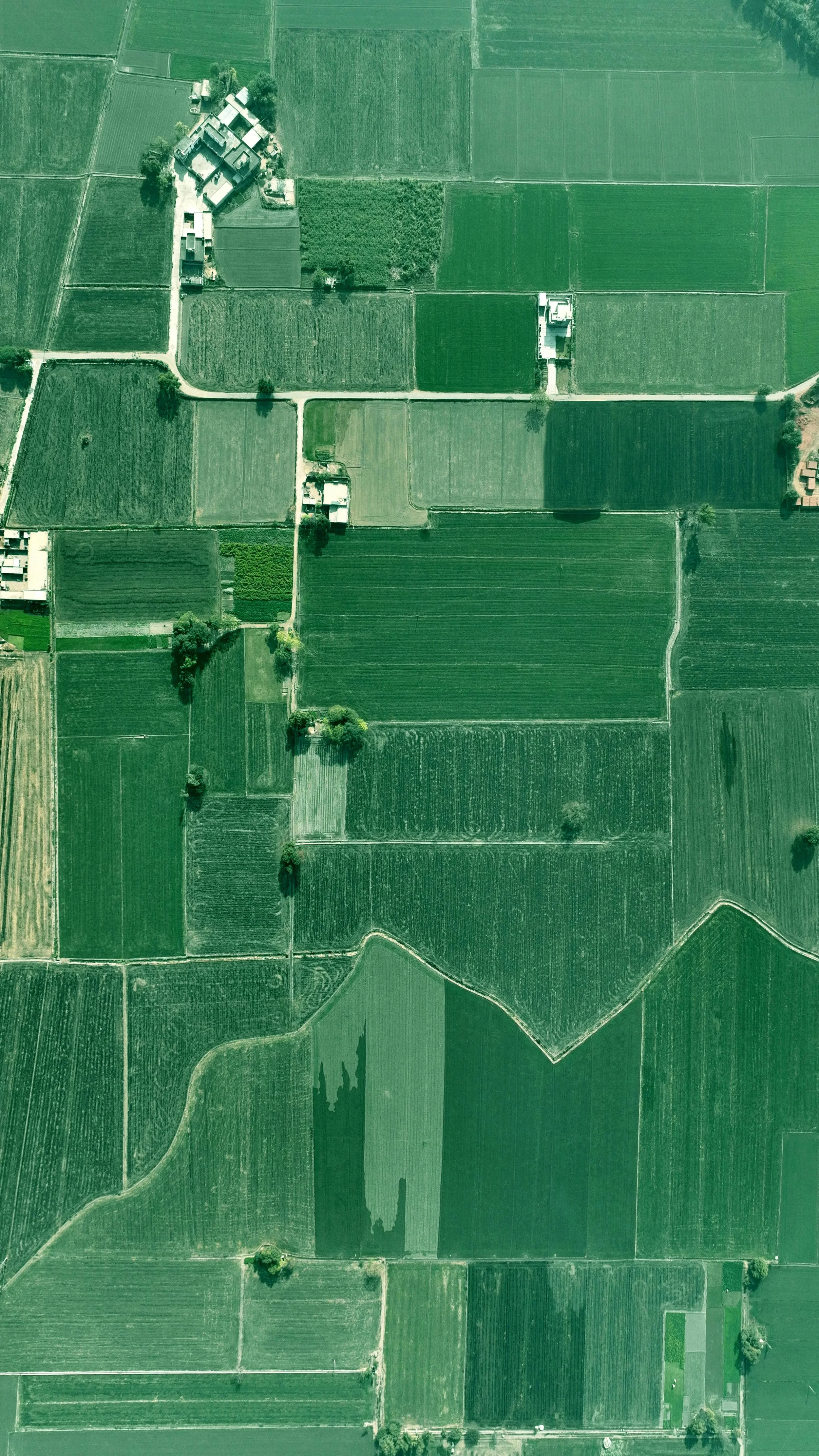
Multispectral drone imaging that captures field variability, stress zones, and crop performance across the growing season.
Crop Health Mapping
Field Mapping & Orthomosaics
High-resolution aerial mapping for accurate field measurement, boundary documentation, and season-over-season monitoring.
Professional aerial imaging for agriculture, construction, and commercial sites with fast turnaround and clear visual reporting.
Inspection & Survey Imaging
How It Works
1. Consultation
We discuss project goals, location, and required outputs to plan the mission efficiently.
2. Data Acquisition
Advanced RPAS flight planning and aerial data collection performed safely and precisely in accordance with regulations.
3. Data Processing
Captured imagery is transformed into actionable maps, vegetation analysis layers, or inspection-ready outputs.
4. Secure Delivery
Secure results delivered quickly with clear insights, ready for immediate decision-making
Advanced RPAS Certified • Fully Insured • Western Canada Operations
Who We Work With
Industries supported across Western Canada
Farmers & Producers
Precision crop insights identifying variability, reducing input waste, and supporting stronger yield decisions.
Agronomy Consultants
High-resolutions aerial data and zone-ready outputs that enhance field scouting, recommendations, and client reporting.
Agriculture Retailers
Actionable field intelligence supporting variable-rate planning, crop monitoring, and data-driven customer service offerings.
Construction & Survey
Detailed aerial imaging and mapping for site monitoring, inspections, progress tracking, and documentation.
Agronomy-ready outputs designed to integrate seamlessly into existing farm management and GIS workflows - no proprietary platforms required.
What You Receive
Field Health Maps
NDVI and multispectral outputs showing where your crop is thriving and where it isn't.
Management Zones
Clearly defined high- and low-performing areas ready for variable-rate planning and targeted scouting.
Field-Ready Files
Geo-referenced exports compatible with your farm software, agronomist, and equipment platform.
Clear Client Reports
A straightforward visual summary of findings and recommended next steps - no technical background required.
Applied Across Land Intelligence Projects
Agriculture & Crop Analysis
Multispectral field health mapping revealing crop variability, stress zones, and seasonal performance to support better input and management decisions.

Construction & Site Monitoring
Aerial site documentation and progress overviews providing clear visual records for active construction sites, inspections, and project milestones.

Municipal & Land Management
High-resolution orthomosaic mapping supporting land evaluation, boundary documentation, and visual asset records across rural and municipal properties.

Environmental Assessment
Vegetation mapping and site condition monitoring supporting land stewardship, reclamation documentation, and visual environmental reporting.